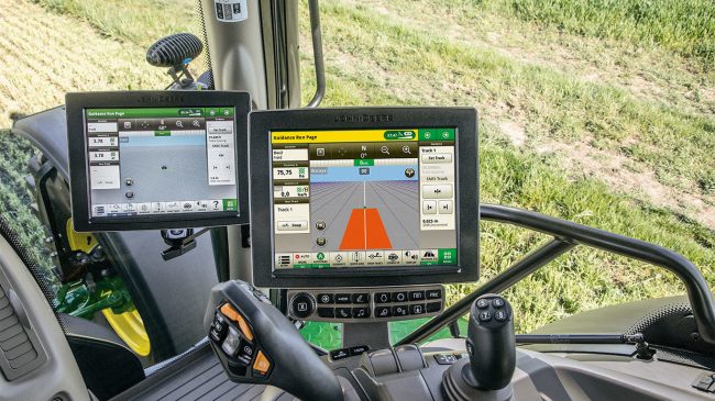
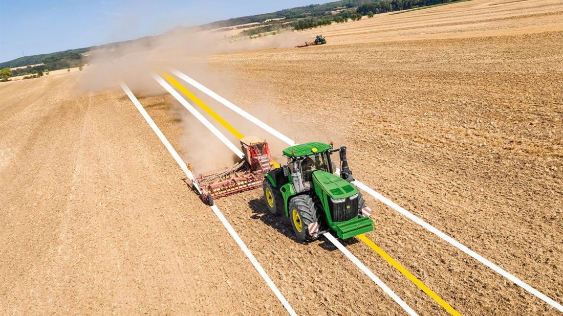
So, as you can see, GPS in Agriculture comes in handy when planning the process of planting different types of seeds.
100 THINGS TO KNOW ABOUT GPS AND FLEET MANAGEMENT
Hey! I'm George J. Magoci and I will send you a FREE eBook where you can learn 100 Things To Know About GPS and Fleet Management.

To continue with the determination of planting ratios that ca be achieved too with the implementation of GPS in agriculture.
As previously mentioned, agricultural businesses are planting different types of seeds that do require specific spaces in between them, speaking of which the GPS can help in determining the ratio when planting this type of seeds.
GPS in Agriculture & Yield Maps
To start by getting up to the point. Yield maps or yield mapping is a technique that agricultural businesses are using via the GPS data that has been set to analyze different variables. The variables include crop yield as well as moisture content in a given field.

Thereupon, the GPS in agriculture definitely plays a crucial role when it comes to the creation of yield maps for specific types of crops.


