So, how does that process works?
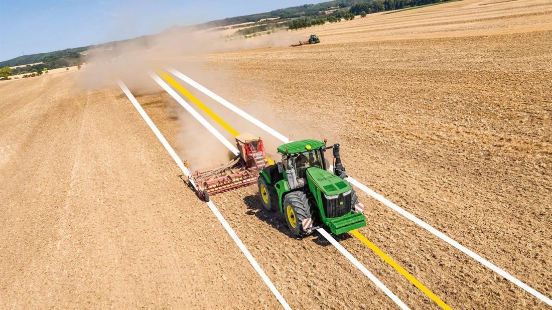
Well, the way that this process works looks like this- the GPS is locating a particular yield map by mounting the GPE receiver on the farm machinery- and by doing so the device collects the needed data on the needed yield maps.

Moreover, the newly developed GPS devices can be used to map out particular yields of a crop. It can be performed starting from one piece of the land- the overall process can be performed based on the land characteristics and the seed characteristics too.
Farm Planting
As you have the chance to see GPS in agriculture plays a significant role. More precisely, the GPS in agriculture can help the user to plan and perform the planting, as well as to harvest it in the best possible way.
The GPS will play a significant role in checking the soil characteristics and crop characteristics at the same time.
So, the next applicable step of the GPS in agriculture is the harvesting.


